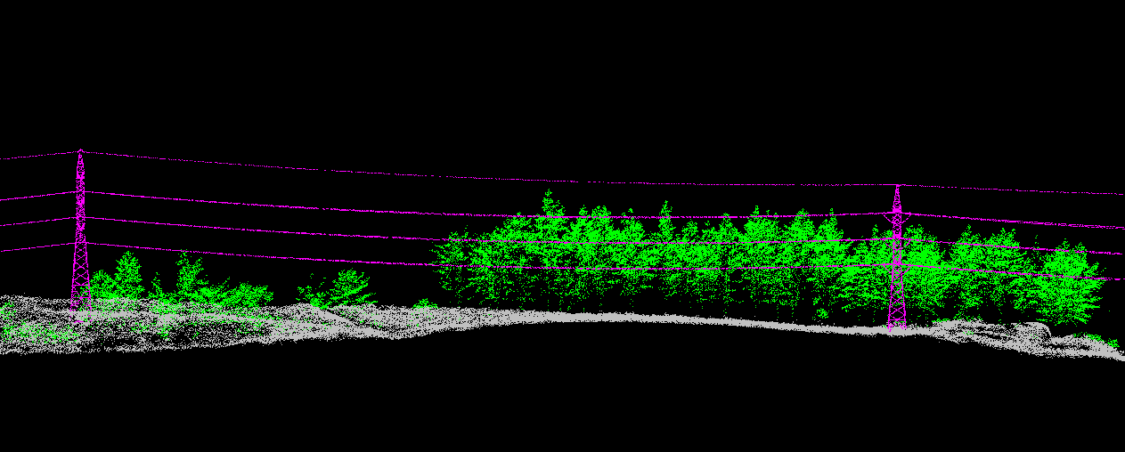
Embark on a journey of precision and depth with our state-of-the-art LiDAR services. LiDAR, or Light Detection and Ranging, is at the heart of our Geospatial Technology offerings, utilizing laser pulses to measure distances and deliver unparalleled insights into Earth's surface. Our LiDAR solutions cover a spectrum of applications, providing accurate and detailed data for various industries.


Topographic Mapping: Capture the landscape in exquisite detail with LiDAR, generating high-resolution digital elevation models (DEMs) and terrain models. Ideal for topographic mapping, land surveying, and engineering applications.
Urban Environment Mapping: Achieve precise mapping of urban environments, including buildings, roads, utilities, and infrastructure assets. LiDAR supports urban planning, 3D city modeling, and asset management initiatives.
Natural Hazard Assessment: Assess and monitor natural hazards such as landslides, floods, and coastal erosion. LiDAR mapping of terrain morphology identifies hazardous areas and analyzes terrain stability.
Archaeology and Cultural Heritage: Assist archaeologists and cultural heritage experts in identifying and mapping archaeological sites, cultural landscapes, and historical structures with high precision and detail.
Transportation Engineering: Support transportation engineering projects by providing accurate terrain models, assessing road conditions, and planning transportation infrastructure such as highways, railways, and airports.
Key Learnings: LiDAR emerges as a versatile remote sensing technology, offering precise and detailed information about the Earth's surface and vegetation structure. From topographic mapping and forestry management to urban planning and natural hazard assessment, LiDAR finds diverse applications across various industries and disciplines. Our commitment to excellence ensures that you receive the most accurate and reliable LiDAR data for your projects.